How I Mapped Palenque Part 6
In the summer of 1999, Ed and crew were risking life and limb to map the western side of Palenque. More snakes, more fantastic discoveries, and more crazy stories of life in Chiapas, Mexico.
SHOW NOTES:
Dr. Barnhart is the director of Maya Exploration Center, a 501(c)3 non-profit dedicated to the study of ancient civilizations in the Americas and beyond. MEC shares their knowledge with the general public through publications, public lectures, and educational travel programs. https://www.mayaexploration.org
Dr. Barnhart has four lecture series available through Great Courses – a total of 104, 30 minutes lectures on the ancient Americas. You can view all the lectures on the Great Courses streaming platform, Great Courses Plus:
https://www.thegreatcoursesplus.com/edwin-barnhart
His newest Great Courses series on Olmec Civilization comes out in Spring of 2025.
The ArchaeoEd Podcast is supported primarily through Patreon. Consider supporting Ed’s independence as an archaeologist through: https://www.patreon.com/archaeoEd
Maya Calendar Learning Resources
Dr. Barnhart has developed several tools to help people understand the Ancient Maya Calendar systems.
An annual wall calendar that shows both the Maya and Gregorian (Christian) dates for each day of the year. The 2025 Mayan Calendar is available for purchase at: https://www.mayan-calendar.com
Maya Calendar iPhone App by Edwin Barnhart. It can calculate your Maya birthdate, giving you information about your personality and destiny according to modern Maya wisdom. Find it on the Apple Appstore here:
https://apps.apple.com/us/app/maya-calendar/id305642777
Bars and Dots is Maya calendar calculator program available at https://www.barsanddots.com . Created by Dr. Barnhart and software engineer Matt Neel, it’s the most sophisticated Maya calendar calculation tool ever created. And it’s FREE!
Support ArchaeoEd through Patreon! https://www.patreon.com/archaeoed
Ed’s day job is Director of Maya Exploration Center, a 501(c)3 non-profit
https://www.mayaexploration.org

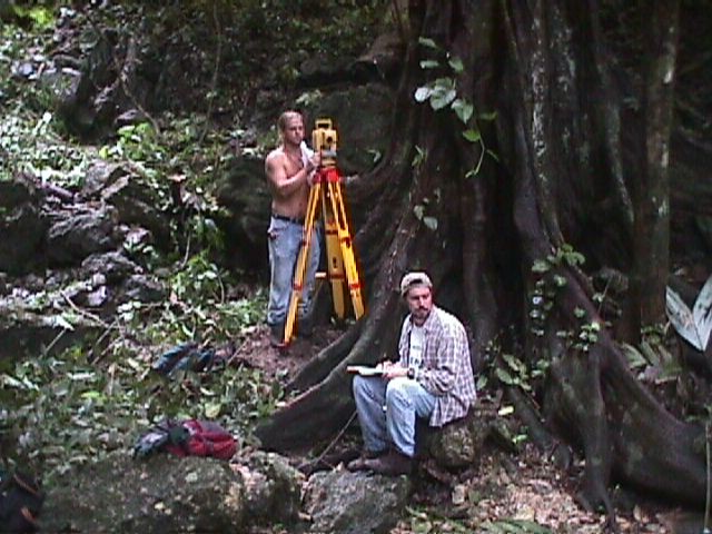
Kirk and Ed mapping along the Piedras Bolas River

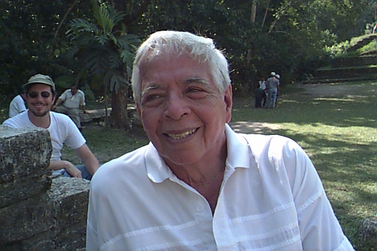
Moises Morales, 1999

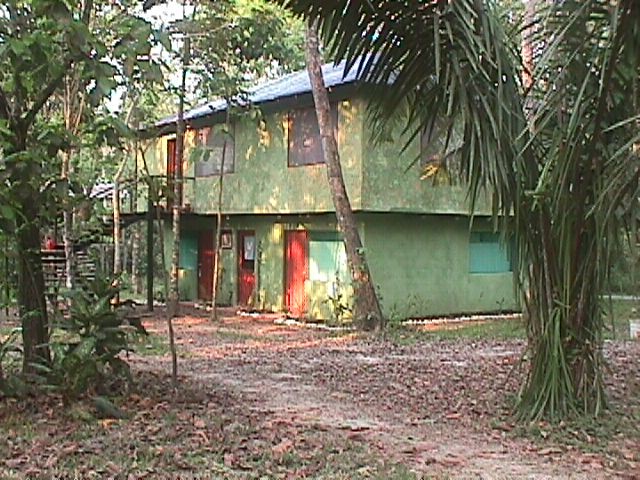
The PMP project house in El Panchan, 1999

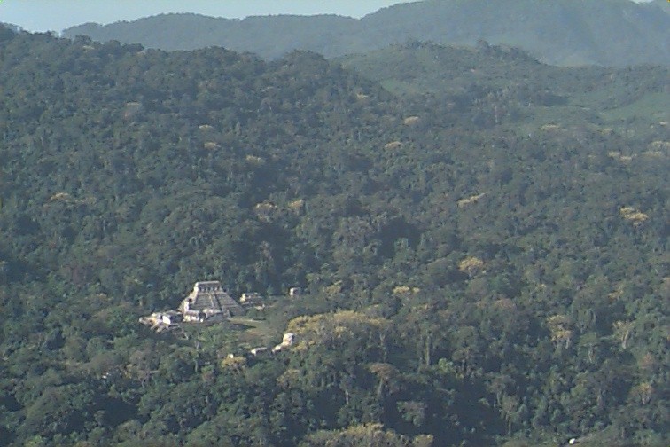
Palenque’s forest from a helicopter in 1999
2 Replies to “How I Mapped Palenque Part 6”
Comments are closed.

Another fun listen. So many significant finds were made in 1999. I’m curious about whether your field season was at the same time as the temple 19 discoveries and the general excitement that year. Were some of the incensarios in the museum also discovered that year, were there fun stories about the placement of the video camera into the newly discovered tomb? It seems hard to believe that private landholders are freely looting to this day at a leisurely pace. I tried to cross check your site map with the areas you describe in the narrative and it is tricky because I’m only quickly finding the ‘project of the cross’ maps that are shown as multiple smaller area maps.
Temple XIX and XX discoveries were indeed made in that same year, 1999. The incensarios in the museum were mostly found a few years earlier by INAH, but some of them were from the side of the Temple of the Cross and Alfonso’s 1998 excavations there. If you go to MEC’s website, there’s full Palenque maps to download there.